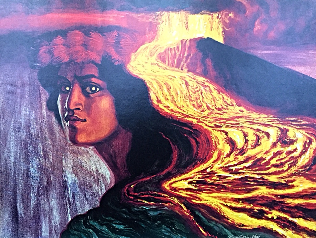
One of the most dramatic spirits of the Hawaiian pantheon … Pele, goddess of volcanoes … capable of sudden fury and great violence (Herbert K. Kane)
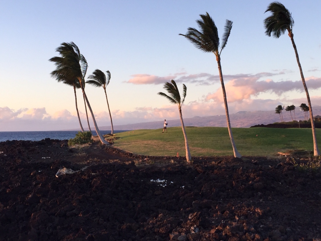
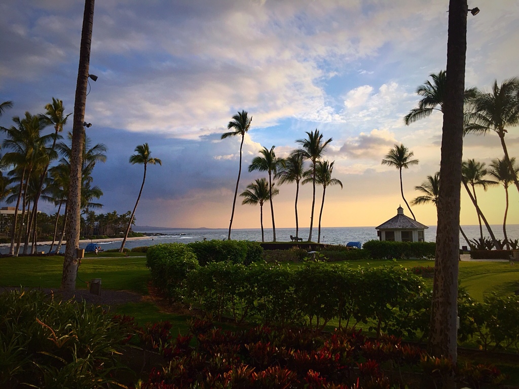
On Friday, day three of our Hawaiian adventure, we drove north from Waikoloa on Hawai’i Island’s west coast to the base of the Kohala Mountains. Turning east, we climbed 2500 feet up and across the mountain ridges into a lush landscape, especially compared to the black volcanic fields near Waikoloa. As we drove towards the east coast we had beautiful views of the Pacific Ocean, with many inlets bringing water into gullies of giant ferns and waterfalls.
At the coast we turned south towards Hilo, Hawai’i Island’s major centre of business and government. We didn’t stop for photos because it was misty and rainy up in the mountains and we needed to concentrate on staying on the correct side of the road (opposite to Australia, so surprisingly effortful) and navigating.

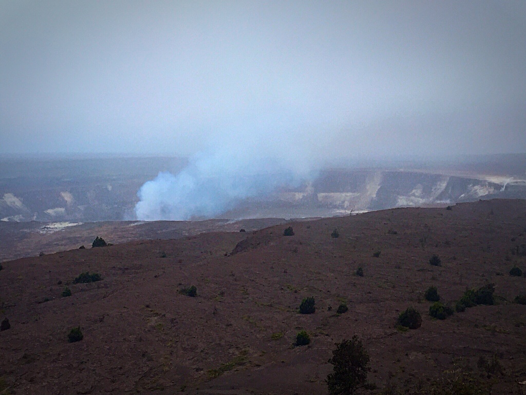
From Hilo we turned south west towards the world’s largest volcano, Mauna Loa, and the world’s most active volcano, Kīlauea, both within the Hawai’i Volcanoes National Park. Although Manua Loa is the most massive mountain on Earth, taller than Mount Everest (from ocean floor to summit it stands 17,000 metres, more than 8,000 metres taller than Mount Everest), people mostly come to see the steaming and roaring Kīlaueau Caldera and the lava flows of its East Rift Zone.

The National Park is a huge, living, drive through museum. In the National Park brochure we received, we read:
Volcanoes are monuments to Earth’s origins, evidence that primordial forces are still at work.
You can drive around the caldera on Crater Rim Drive (at least until a section where the road has been closed due to dangerous volcanic activity) and you can drive down through the outpourings in the East Rift Zone on Chain of Craters Drive. We arrived around 5pm after 3 hours of driving from the east coast and first stopped at the Visitor Centre. Here we found helpful suggestions for three main things to see and do over a couple of hours: (1) “breathe the sacred breath of Pele” from steam vents, (2) view Kīlauea’s erupting summit from the lookout at the Thomas Jaggar Museum, and (3) “explore a cave where a river of lava flowed 550 years ago”.


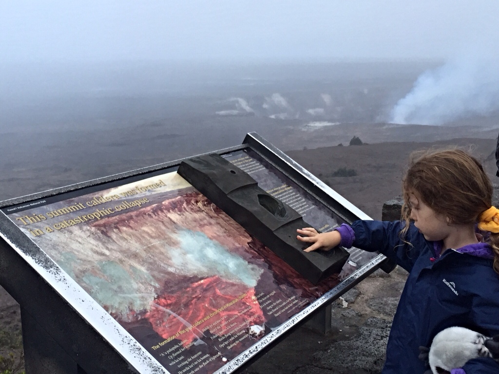
… a large, usually circular depression at the summit of a volcano formed when magma is withdrawn or erupted from a shallow underground magma reservoir. The removal of large volumes of magma may result in loss of structural support for the overlying rock, thereby leading to collapse of the ground and formation of a large depression. Calderas are different from craters, which are smaller, circular depressions created primarily by explosive excavation of rock during eruptions. (From http://volcano-pictures.info/glossary/caldera.html)


Although the drive to meet Pele and return was long and exhausting (and somewhat terrifying on the way back to our resort in the dark, on unfamiliar roads, in torrential rain and on the wrong side of the road), it was a trip worth making. The Hawai’i Volcanoes National Park looked like a place where dinosaurs and other ancient creatures might be at home. A fierce, primordial landscape. Although forbidding, Kīlauea actually is one of the most studied and best understood volcanoes on the planet. Scientists have been studying Kīlauea at least since 1921 when Dr Thomas Jaggar, a Professor of Geology at MIT in Cambridge, Massachusetts, founded the Hawaiian Volcano Observatory (on the spot we visited) and pioneered many of the techniques of volcanology.
We loved exploring how these volcanoes had shaped the birth of the Hawaiian Islands as well as the birth of an entirely new science necessary to understand the secrets of Pele and her fiery ways!
Our next stop: The fabled North Shore of O’ahu!